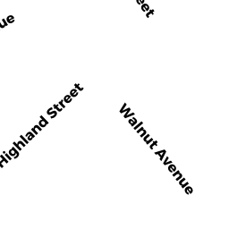
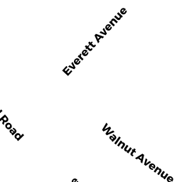
161 WALNUT AVENUE
Owner Information
PALUMBO, DOREEN
161 WALNUT AVENUE
NORWOOD, MA 02062


Property Details
161 WALNUT AVENUE is classified as a Single Family Residential (Conventional).
The primary structure on this property was built in 1928. There are 3,811ft2 of built area within this property. There is 1,679ft2 of residential/living space within this property. This property is listed as having 6 rooms.
161 WALNUT AVENUE is valued at $476,900. The land is valued at $230,400 and the structures are valued at $242,800. There is an additional valuation of $3,700 on this property.
This property is in Zone G. Confirm with local Zoning Board authorities to ensure there are no overlays or other easements on this property.
The most recent deed for 161 WALNUT AVENUE is recorded at the local registrar in Book 34570, Page 0079. 161 WALNUT AVENUE was last sold on Monday, October 17, 2016 for $423,000.
Assessment data from fiscal year 2022.
Flood Data
According to the FEMA National Flood Hazard Layer, this property does not appear to be in a flood zone. It may also be in an area not yet reviewed. Nonetheless, confirm this information prior to taking any action.
To view the flood hazards around this property, create a FEMA "Firmette" Map of the area around 161 WALNUT AVENUE.
Broadband Internet Providers
| Provider | Type | Bandwidth (mbps) | |
|---|---|---|---|
| Viasat Inc | Satellite | 100 | 3 |
| Verizon New England Inc. | DSL | 7 | 0 |
| Verizon New England Inc. | Fiber | 940 | 880 |
| Comcast | Cable | 1000 | 35 |
| GCI Communication Corp. | Satellite | 0 | 0 |
| HughesNet | Satellite | 25 | 3 |
| VSAT Systems, LLC. | Satellite | 2 | 1 |
Broadband service provider data from December 2020.
Adjacent Properties
- 24 ROSEMARY STREET
Single Family Residential owned by FORD, JAMES F - 165 WALNUT AVENUE
Single Family Residential owned by DONOVAN, BRIANNA M - 157 WALNUT AVENUE
Three-Family Residential owned by DELUCA, DANA M & SUSAN J TRS - 32 ROSEMARY STREET
Single Family Residential owned by ROY, RICHARD N & - 30 ROSEMARY STREET
Single Family Residential owned by ROY, MATTHEW N